.....................................................................................Outdoor Adventures
Symbols: = Hiking = Bird Watching = Cycling
= Boat Ramp = Primitive Camping
Alafia River Reserve
Hardwood hammock trail with natural walkways to Alafia River
Directions: From Mulberry, take S.R. 60 west to Turner Road (2.75 miles).
Turn left onto Turner Road, follow to Y. Stay left on North Turner Road.
Turn left onto Indian Oak Boulevard and turn right on Indian Oak Drive.
Contact: 863-534-7377, www.polk-county.net and click on
Parks & Recreation. Map grid B-8
Allen David Broussard
Catfish Creek State Preserve
Wide sandy trails great for birding
Directions: From S.R. 17 in the Lake Hamilton area, turn east on
Lake Hatchineha Road. After four miles, turn south on Firetower Road.
Contact: 863-696-1112, www.floridastateparks.org. Map grid H-6
Avon Park Air Force Range
(Access may be limited, depending on military activity. Call for status.)
Directions: In Avon Park from U.S. 27, turn east on C.R. 64 and follow
for 10 miles until it dead ends.
Contact: 863-452-4119 or 863-452-4254, www.avonparkafr.com.
Map grid K-10
Babson Park Nature Center & Caloosa Nature Trail
Ridge Audubon Center
Nature trials winding through a desert-like ecosystem
Directions: From US 27, go east on CR 640 and continue south on
S.R. 17 for two miles.
Contact: 863-638-1355, www.ridgeaudubon.org. Map grid G-8
Catfish Creek
Boat access only by Lake Hatchineha.
Contact: 800-250-4250, www.sfwmd.gov. Map grid I-6
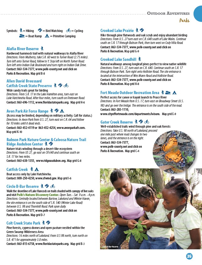
Circle B-Bar Reserve
Walk the shoreline of Lake Hancock on trails shaded with canopy of live oaks
and visit Polk’s Nature Discovery Center. Open Tues. - Sat. 9 a.m. - 4 p.m.
Directions: Centrally located between Bartow, Lakeland and Winter Haven,
the site entrance is on the south side of S.R. 540 (Winter Lake Road)
between U.S. 98 and Thornhill Road. Park open daily.
Contact: 863-534-7377, www.polk-county.net and click on
Parks & Recreation. Map grid D-7
Colt Creek State Park
Pine forests, cypress domes and open pasture nestled within the
Green Swamp Wilderness Area
Directions: 16 miles north of Lakeland. From U.S 98 north, turn north on
S.R. 471 for approximately 3.8 miles.
Contact: 863-815-6758, www.floridastateparks.org. Map grid B-3
Parks
Crooked Lake Prairie
Hike through pine flatwoods and oak scrub and enjoy abundant birding
Directions: From U.S. 27 turn east on C.R. 640 south of Lake Wales. Continue
south on S.R. 17 through Babson Park, then turn west on Cody Villa Road.
Contact: 863-534-7377, www.polk-county.net and click on
Parks & Recreation. Map grid G-9
Crooked Lake Sandhill
Natural walkways among longleaf pines perfect to view native wildlife
Directions: From U.S. 27, turn east on C.R. 640. Continue south on S.R. 17
through Babson Park. Turn right onto Hollister Road. The site entrance is
located at the intersection of Wes Mann Road and Hollister Road.
Contact: 863-534-7377, www.polk-county.net and click on
Parks & Recreation. Map grid H-8
Fort Meade Outdoor Recreation Area
Perfect access for canoe or kayak launch to Peace River
Directions: In Fort Meade from U.S. 17, turn east on Broadway Street (U.S.
98) and go over the bridge. The entrance is on the south side of the road.
Contact: 863-285-1110,
www.cityoffortmeade.com/departments/leisure. Map grid E-9
Gator Creek Reserve
Well-established trails wind through pine and oak forests
Directions: Take U.S. 98 north of Lakeland, proceed
one mile past where road changes to two
lanes, and the entrance is on the right.
Contact: 863-534-7377,
www.polk-county.net and click on
Parks & Recreation. Map grid C-4
Circle B-Bar Reserve
www.visitcentralflorida.org | 35