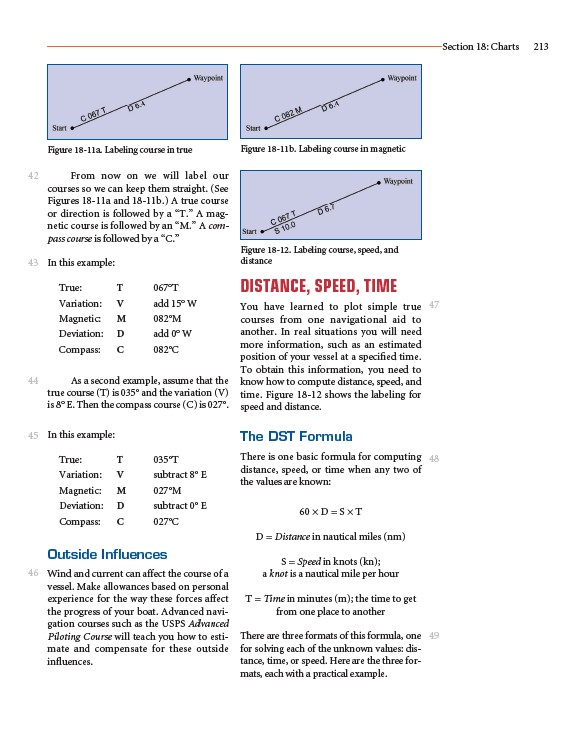
From now on we will label our
courses so we can keep them straight. (See
Figures 18-11a and 18-11b.) A true course
or direction is followed by a “T.” A magnetic
course is followed by an “M.” A compass
course is followed by a “C.”
In this example:
True: T 067°T
Variation: V add 15° W
Magnetic: M 082°M
Deviation: D add 0° W
Compass: C 082°C
As a second example, assume that the
true course (T) is 035° and the variation (V)
is 8° E. Then the compass course (C) is 027°.
In this example:
True: T 035°T
Variation: V subtract 8° E
Magnetic: M 027°M
Deviation: D subtract 0° E
Compass: C 027°C
Outside Influences
Wind and current can affect the course of a
vessel. Make allowances based on personal
experience for the way these forces affect
the progress of your boat. Advanced navigation
courses such as the USPS Advanced
Piloting Course will teach you how to estimate
and compensate for these outside
influences.
DISTANCE, SPEED, TIME
You have learned to plot simple true
courses from one navigational aid to
another. In real situations you will need
more information, such as an estimated
position of your vessel at a specified time.
To obtain this information, you need to
know how to compute distance, speed, and
time. Figure 18-12 shows the labeling for
speed and distance.
The DST Formula
There is one basic formula for computing
distance, speed, or time when any two of
the values are known:
60 × D = S × T
D = Distance in nautical miles (nm)
S = Speed in knots (kn);
a knot is a nautical mile per hour
T = Time in minutes (m); the time to get
from one place to another
There are three formats of this formula, one
for solving each of the unknown values: distance,
time, or speed. Here are the three formats,
each with a practical example.
Section 18: Charts 213
42
43
44
45
46
47
48
49
Figure 18-11a. Labeling course in true Figure 18-11b. Labeling course in magnetic
Figure 18-12. Labeling course, speed, and
distance