Figure S-4. Mark dialog
start of each leg in a route, as well as at the
end of the route. Marks created these
ways will have a triangular icon, except for
routes that use a diamond, but no name.
You can move the mark by left clicking and
dragging it around.
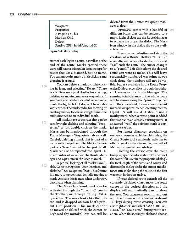
You can delete a mark by right-clicking
its icon, and selecting “Delete.” There
is a built-in undo/redo buffer for creating,
deleting or moving marks or waypoints. If
you have just created, deleted or moved a
mark the fight-click dialog will have relevant
entries. The undo/redu, for moving or
creating marks, follows a straight time-line
and is not tied to an individual mark.
All marks have properties that can be
seen by right clicking and selecting “Properties,”
or just double click on the mark.
Marks can be manipulated through the
Route Managers Waypoints tab as well.
Careful, deleting a mark that is part of a
route will change the route. Marks that are
part of a “layer” cannot be changed. At all.
Marks can also be imported into OpenCPN
in a number of ways. See The Route Manager
and Gpx Data in the User Manual.
A general locking of all marks is available.
Go to the Options-User Interface, and
click the “lock waypoints” box. This feature
is handy, to prevent accidentally moving a
mark. Activate this feature when underway,
deactivate when planning.
The Man Overboard mark can be
activated through the “life-ring” icon in
the Toolbar, or through hitting Ctrl +
Space bar. The mark looks like the button
and is dropped on own boat’s present
GPS position. This mark cannot
be moved or deleted with the cursor or
keyboard (by mistake), but can still be
deleted from the Route/ Waypoint manager
dialog.
OpenCPN comes with a handful of
different icons that can be assigned to a
mark. Right click or use the Route Manager
to activate the properties dialog. The Mark
icon window in the dialog shows the available
icons.
Press the route-button and start the
creation of a Route. Hotkey “CTRL R”
is an alternative way to start a route and
“Esc” ends the route. The cursor changes
to a “pencil.” Left click along the desired
route you want to make. This will leave
sequentially numbered waypoints as you
click along, the numbers will not be visible,
but are available in the Route Properties
Dialog, accessible through the rightclick
menu or the Route Manager. The
running total distance of the whole route
will be shown along the “pencil” together
with the course and distance from the last
marked waypoint. When creating routes,
OpenCPN will ask if it should use a
nearby mark, when a route point is added
that is close to an already existing mark. If
answered “yes,” the existing mark is copied
to the route.
For longer distances, especially on
east-west courses at higher latitudes, the
Create Route tool seamlessly switches to
offer a great circle alternative, instead of
Mercator rhumb-line route legs.
Holding the cursor over the route
brings up specific information. The name of
the route (if it is set in the properties dialog),
the total length of the route, and course and
distance for the leg under the cursor and distance
run so far along the route, to the first
waypoint in the current leg.
If your desired route extends off the
currently displayed chart, move the route
cursor in the desired direction and the
display will automatically pan to show
the area. You cacursern zoom in and out
with the mouse scroll wheel or keyboard
+/- keys during route creating. You can
also right-click and select “MAX DETAIL
HERE,” or “Scale Out,” during route creation.
When finished right-click and choose
224 Chapter Five
100
101
102
103
104
105
106
107
108
Waypoint
Properties
Navigate To This
Mark as KML
Delete
Send to GPS (Serial:/dev/ttySO)