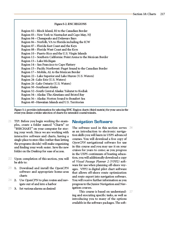
Figure S-2. RNC REGIONS
Region 02 – Block Island, RI to the Canadian Border
Region 03 – New York to Nantucket and Cape May, NJ
Region 04 – Chesapeake and Delaware Bays
Region 06 – Norfolk, VA to Florida including the ICW
Region 07 – Florida East Coast and the Keys
Region 08 – Florida West Coast and the Keys
Region 10 – Puerto Rico and the U.S. Virgin Islands
Region 12 – Southern California: Point Arena to the Mexican Border
Region 13 – Lake Michigan
Region 14 – San Francisco to Cape Flattery
Region 15 – Pacific Northwest: Puget Sound to the Canadian Border
Region 17 – Mobile, AL to the Mexican Border
Region 22 – Lake Superior and Lake Huron (U.S. Waters)
Region 24 –Lake Erie (U.S. Waters)
Region 26 –Lake Ontario (U.S. Waters)
Region 30 –Southeast Alaska
Region 32 –South Central Alaska: Yakutat to Kodiak
Region 34 – Alaska: The Aleutians and Bristol Bay
Region 36 – Alaska: Norton Sound to Beaufort Sea
Region 40 –Hawaiian Islands and U.S. Territories
TIP: Before you begin working the examples,
create a folder named “Charts” or
“BSBCHART” on your computer for storing
your work. Since we are working with
interactive software and charts, having a
single place to store files (rather than letting
the programs decide) will make organizing
and finding your work easier. Save the new
folder on the Desktop for ease of access.
Upon completion of this section, you will
be able to:
1. Download and install the OpenCPN
software and appropriate home-area
charts
2. Use OpenCPN to plan routes and navigate
out of and into a harbor
3. Set various alarms as desired
Navigation Software
The software used in this section serves
as an introduction to electronic navigation
skills you will learn in USPS advanced
courses. You will download a free copy of
OpenCPN navigational software for use
in this course and you may use it on your
cruises for years to come; as you progress
in the USPS continuum of boating education,
you will additionally download a copy
of Visual Passage Planner 2 (VPP2) software
for use when planning off-shore voyages.
VPP2 is digital pilot chart software
that allows off-shore route optimization
and route export into navigation software.
You will receive further information as you
progress to the Junior Navigation and Navigation
courses.
This course is based on understanding
and executing specific tasks, as well as
introducing you to many of the options
available in the software packages. The soft-
Section 18: Charts 217
21
22
23
24
25
26
27
Figure S-2 provides information for selecting RNC Region charts (third matrix) for your area in the
event you desire a wider selection of charts for extended coastal transits.