a bit of storage space; these charts generally
are delivered on CD-ROMs. They can also
be downloaded from the internet.
Vector charts are created using the
same paper charts by tracing the lines on a
computer. The traced lines represent a large
number of straight-line segments, but only
the end points are stored (instead of the
lines).
This saves storage space, so these
charts can be delivered on chart chips that
work with chartplotters. Generally, these
charts are not as feature-rich as raster charts,
but the critical data are there. Typically, a
chart chip will work only with chartplotters
designed for that particular type of chip..
INTRODUCTION TO
ADVANCED MARINE
NAVIGATION
Overview
Previous sections discussed recreational
boating tools beyond that required in Federal
Regulations and included GPS, AIS,
depth sounders, charts, chart plotters, pilot
charts and an introduction to piloting.
These tools are especially useful in the near
and off-shore environments. Their application
to inshore navigation is useful for
plotting and navigating safe and comfortable
passage. Complementing these tools
with radar, auto-pilot and weather plotters
is useful for lengthy passages.
In this section, we will look at the computer
program, OpenCPN software, which
can be used for planning and executing
inland and near shore recreational boating.
This tool will be useful to you as you progress
through the USPS University continuum
of boating education to the Navigator
course of instruction. OpenCPN is a professional
navigation program which can then
guide you from harbors for live navigation
on inland and coastal waterways. For purposes
of ABC3, we will focus on implementing
OpenCPN on the inland and near-coast
waters. Off-shore open-ocean voyage planning
is addressed in advanced USPS courses.
For work in this section, you will need
access to a personal computer with:
1. Windows XP or later, or Macintosh
OSX
2. Super VGA (800X600)
3. Hard-Disk Storage
a. OpenCPN chart requires 2 or more
gigabytes (GB)
4. High-speed internet access
5. Printer
216 Chapter Five
11
12
13
14
15
16
17
18
18a
19
20
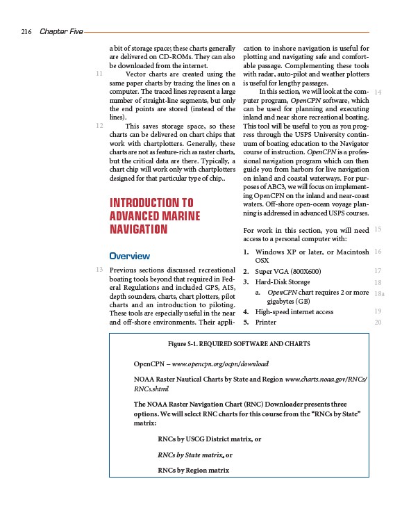
Figure S-1. REQUIRED SOFTWARE AND CHARTS
OpenCPN – www.opencpn.org/ocpn/download
NOAA Raster Nautical Charts by State and Region www.charts.noaa.gov/RNCs/
RNCs.shtml
The NOAA Raster Navigation Chart (RNC) Downloader presents three
options. We will select RNC charts for this course from the “RNCs by State”
matrix:
RNCs by USCG District matrix, or
RNCs by State matrix, or
RNCs by Region matrix
/download
/rncs.shtml
/rncs.shtml